|
Visitor Information - Menu

VISITOR INFORMATION - Hiking
IntroductionThroughout the various trails and paths many types of bird species can be encountered as well as whales just offshore. In certain places you can view the town from breath taking viewpoints, while other sections demonstrate no signs of civilization at all. The trails vary in length with the longest being 16.5 km.
The geology of the Elliston/Maberly area consists of 540-million-year-old Cambrian rock. Vast sections of the trails consist of heathland or barrens with various examples of plant species such as blackberry, blueberry, partridgeberry, bakeapple and others. In other areas balsam fir and spruce trees are quite visible.
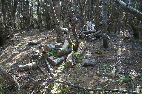
Many trails also double as roads for all terrain vehicles (ATVs) that were first in use, at Elliston, in 1982/83, and this changed the way people went into the woods or countryside. These small vehicles made it possible to gain access to remote areas for hauling wood and picking berries. They also play an important part in big game hunting.
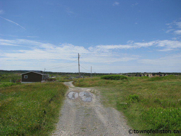
The “Klondike Trail" connecting Elliston to the community of Spillars Cove makes for a nice ride.
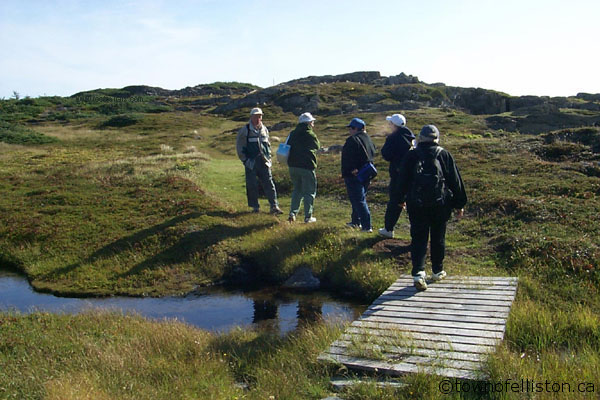
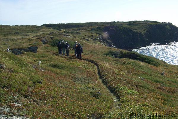
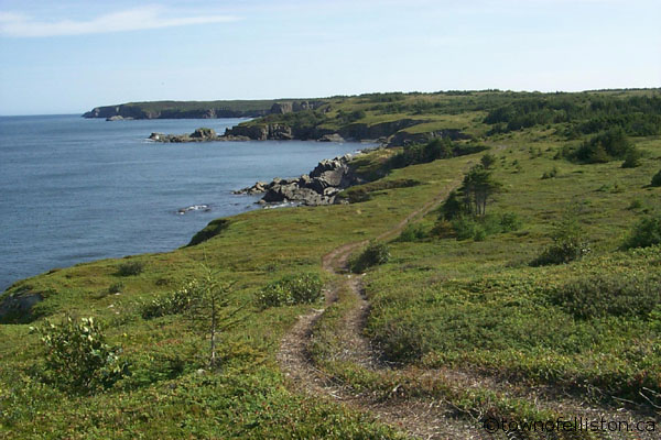
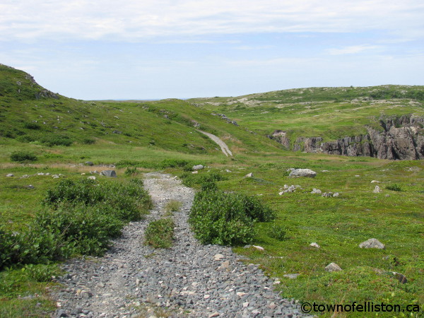
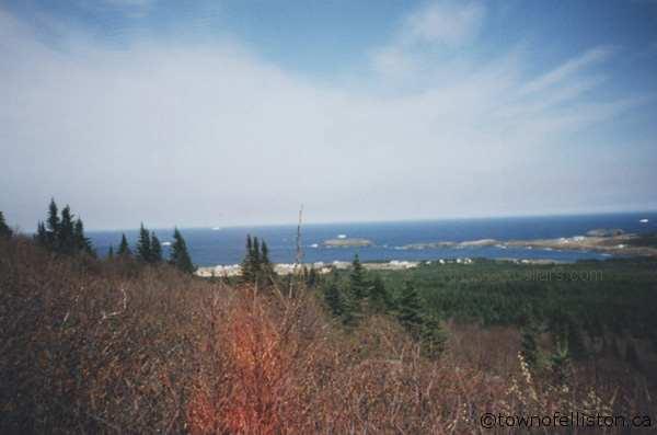
Maberly to Little Catalina TrailRating: Moderate-Difficult - Starting in the Scenic Maberly Loop
The "Maberly to Little Catalina Trail" provides one of the best hikes anywhere no matter which end you choose to start from. It is 16.5 km in length and contains many items of interest such as the breath-taking scenery including many types of berries along your path. If leaving from Maberly experience scenic Flower's Cove (25 minutes from start point), the site of many a "boil up." Likewise, if hiking from the Little Catalina, note the rocks just offshore at the beginning of the trail known as the "Shag Rocks." This is the site of the shipwreck of the Ella Rudolph. Roughly, at the midpoint, you will pass by the remains of Charlie’s Cove, a long-abandoned community. From either starting the point this trail contains magnificent scenery and is something that must be seen to be appreciated. There are trail markers situated along the way.

Click to enlarge any photo below:
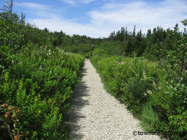
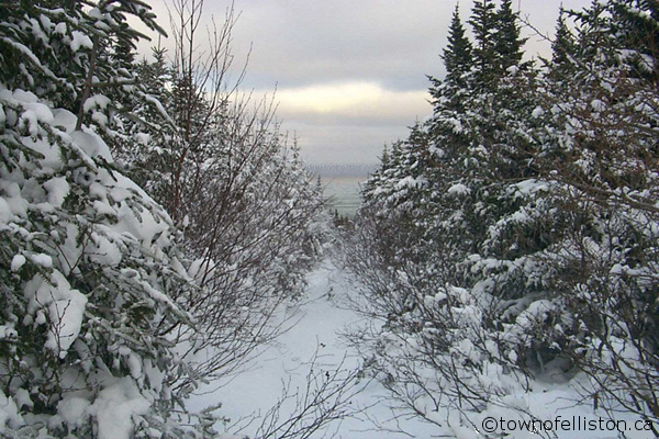
Klondike TrailRating: Easy-Moderate
The "Klondike Trail" located on the Northern section of town is well known and upgraded in 2013. This trail was regularly used years ago as a horse and cart trail, leading from Elliston to the community of Spillars Cove and on to Bonavista. This trail is about 5 km in length and provides a unique perspective on Elliston. However, the best view is in the Spillars Cove vicinity including a magnificent sea stack! This trail provides a scenic walk for the adventurer. There are trail markers situated along the way.

Click to enlarge any photo below:
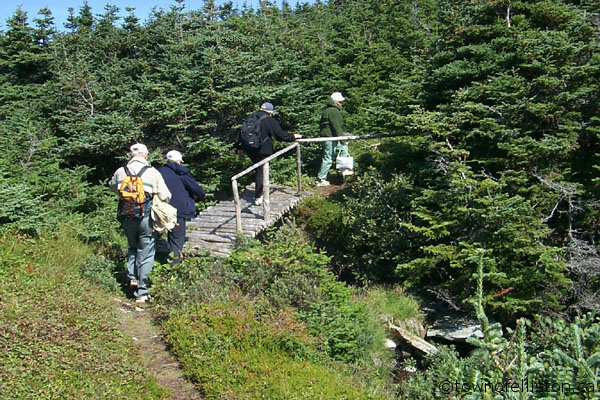
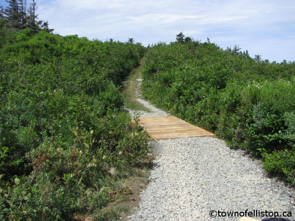
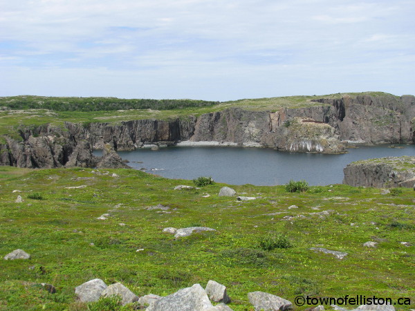
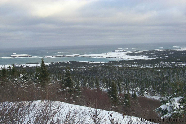
Elliston Ridge PathRating: Easy
The "Elliston Ridge Path" also known as the "Base Road" was once the main means of access to the USAF Det. #1. 642nd AC&W Sq. (known locally as "The Base"). During the 1950's and 60's this base was part of the general North American defense planning serving as a Radar Gap filler. Today you can walk this path and in addition to the panoramic view of the entire area you can examine the evidence left behind by a "Cold War" structure. In addition, at the top of this path you can view Elliston's Felsenmeer or "boulder sea." Note: This path merges into Mark’s Path at the top of Elliston Ridge and there are no trail makers.

Click to enlarge any photo below:
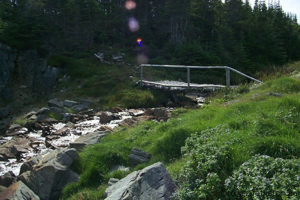
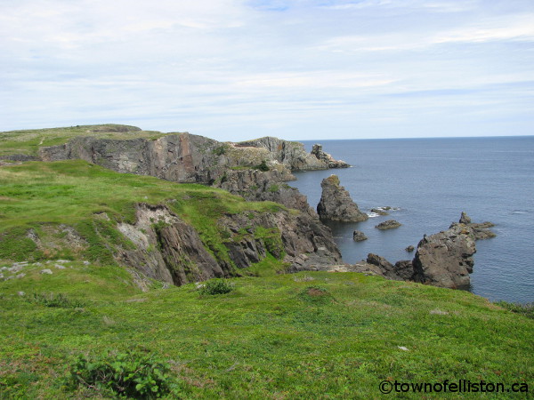
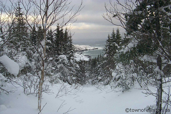
Mark's PathRating: Moderate-Difficult
"Mark's Path" like the "Elliston Ridge Path" was the also means of access to an American Outpost in the 1940's (WWII era). When the USAF Det. #1. 642nd AC&W Sq. was active (Late 1950's/1960's) oil tankers would dock at Norder Cove and oil would be pumped along this path to large oil containers located on the top of Elliston Ridge. Today you can also walk this path and enjoy the landscape while visiting some "Cold War" reminders. In addition, at the top of this path you can view Elliston's Felsenmeer or "boulder sea." Note: This path merges into Mark’s Path at the top of Elliston Ridge and there are no trail makers.

Click to enlarge any photo below:
| Back to Top | | |||||||||||||||||||||||||||||||||||||||||||||||||||||||||||||||